![Jan Niaprecki and the Map of the Grand Duchy of Lithuania. Aliaksiej Adamovič [BLR]](https://gutenbergpublisher.eu/wp-content/uploads/2025/04/photo_2022-07-16_13-22-00-1-430x430.jpg)


Description
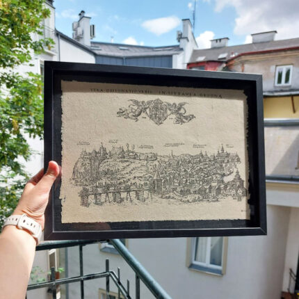
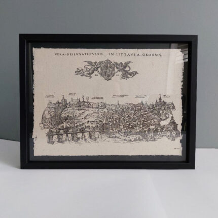
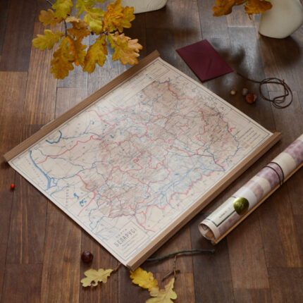
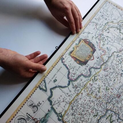
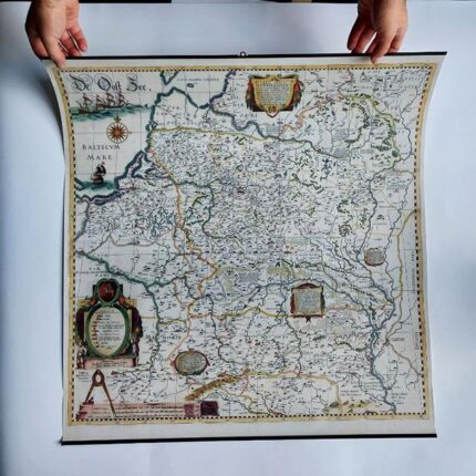
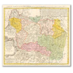
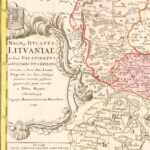
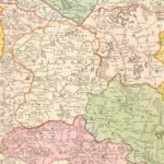
Map of the Grand Duchy of Lithuania, 1749 (1770s reprint)
MAGNI DVCATVS LITHVANIAE
The image of the lands of the GDL in the 18th century has been reconstructed thanks to the Jesuit scholar Jan Nepretsky. Although the map was based on one of the reprints of the Radziwillow map of 1613, a number of refinements were made, and the borders of the Principality and the administrative division were updated.
The map was first published in the publishing house “Spadkaemci Goman” in 1749 in Nuremberg under the editorship of the German scientist Tobias Mayer (1723-1762). Subsequently, it was repeatedly reprinted with substantial revisions.
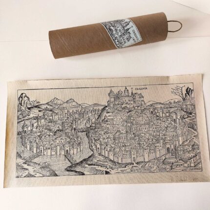
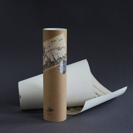
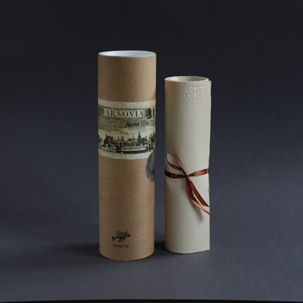
We send the map wrapped in a tube in a separate parcel.