![Daddy Moniuszko by Katarzyna Huzar-Czub [BLR]](https://gutenbergpublisher.eu/wp-content/uploads/2026/01/manushzka-430x430.png)


Description
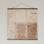
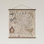
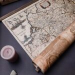
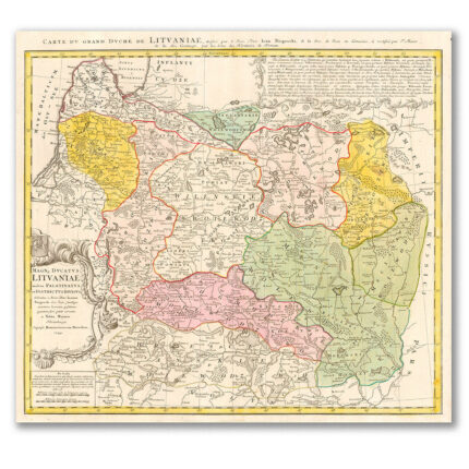
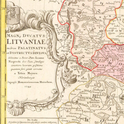
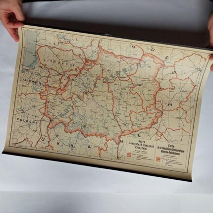
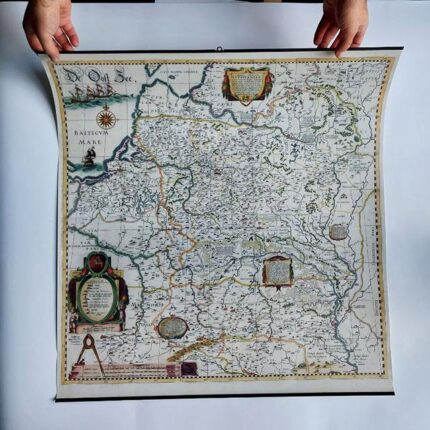
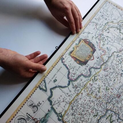
A copy of the map acquired by the MALDZIS initiative in December 2024 through the funds of Belarusian donors: Siarhiej Kazłoŭski, Hanna Buhłakova, Uladzimir Horłač, and Dzmitry Padalinski. The map covers the territory of the GDL within its borders prior to the Union of Lublin in 1569, as well as parts of neighboring lands.
The initiator and patron of its creation was Prince Mikalaj Kryštof Radzivił “the Orphan”; hence, the map went down in history under his name. The author of the sketch is the Niaśviž engraver Tamaš Makoŭski. The 1613 edition was produced by the Dutch engraver Hessel Gerritsz in Amsterdam for the workshop of Willem Janszoon Blaeu.
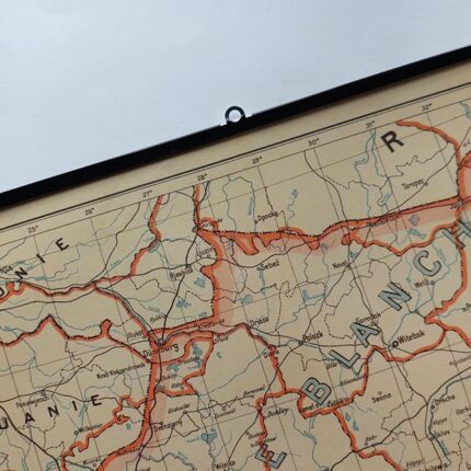
The map features over 1,000 settlements, more than 300 of which are located in modern-day Belarus. To this day, it remains an invaluable historical source. From 1631, the Radziwiłł Map was included in the Blaeu publishing house’s atlas “Appendix Theatri A. Ortelii et Atlantis.” The “Maldzis” copy is one of the first atlas editions.
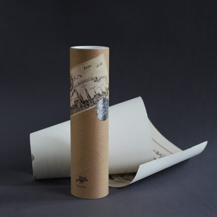
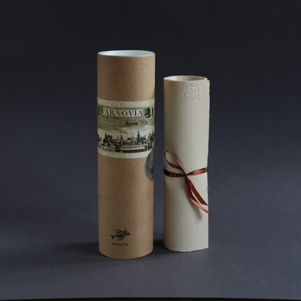
Original: Hand-colored copperplate engraving, assembled from four parts. Map size: 74 × 75 cm.
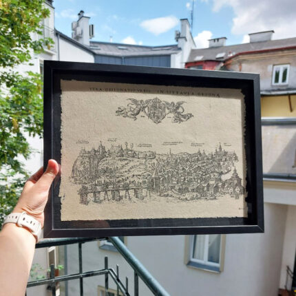
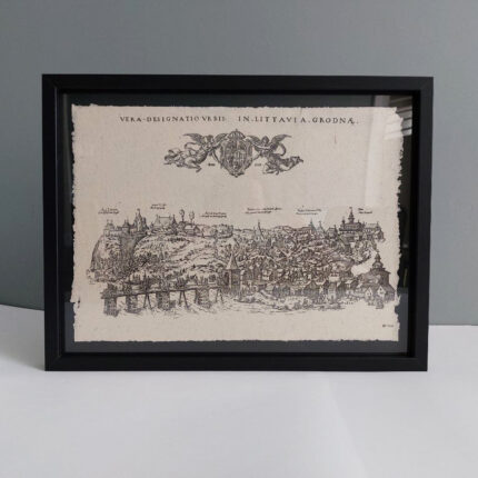
The reverse side of the “Maldzis” copy features atlas pages with the Latin text “Descriptio Lithuaniae” (“Description of Lithuania”) — a geographical, historical, and cultural description of the GDL.
About MALDZIS: The initiative is named after Adam Maldzis, who sought and recovered lost Belarusian treasures and names from oblivion. MALDZIS continues this work, seeing its mission in strengthening the image of Belarus as a European nation and uniting Belarusians around their national identity.


Reviews
There are no reviews yet.