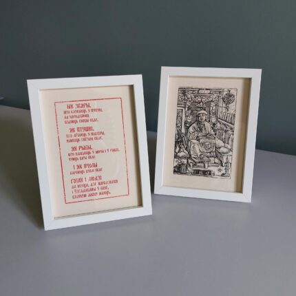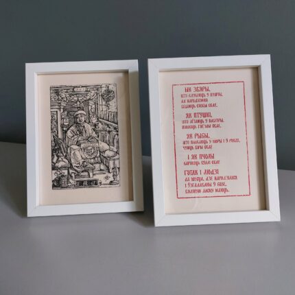


Description
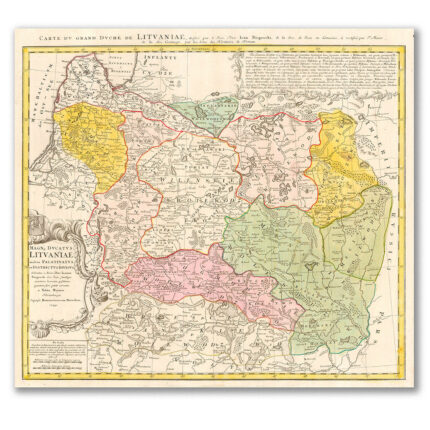
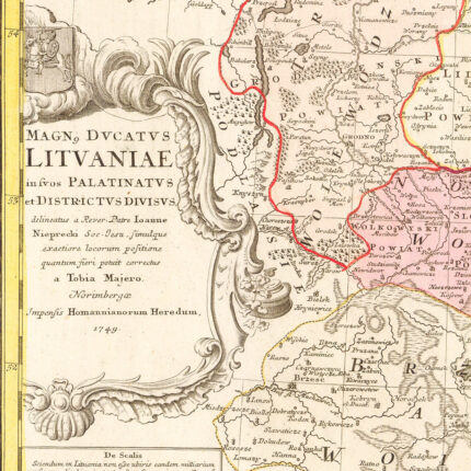
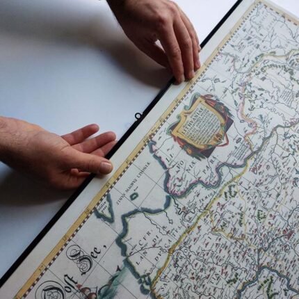
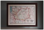
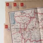
The map of the Belarusian People’s Republic is a symbol of the first steps of the modern Belarusian diplomacy, a testimony to the statehood and its own rights. The map of the Belarusian People’s Republic in modern times is a symbol of belonging to the brave ideas of those who believed in Belarus, and a tribute to the memory of them.
From the history of the appearance of the map:
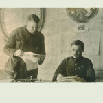
1918. The First World War ended. Peoples got a chance for self-determination, for creation of their own state. A peace conference begins in Paris, where it is to determine how the world will be organized after the collapse of empires. Representatives of our region also take part in it, trying to prove the right of the Belarusians.
But what kind of land is Belarus?
In what borders is the independence proclaimed on March 25, 1918 declared?
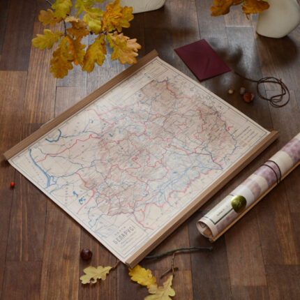
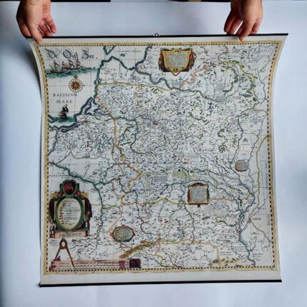
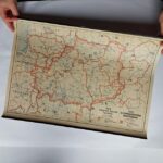
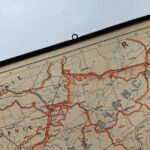
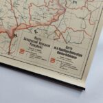
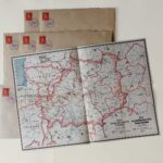
Belarusian diplomats need a map. And the map was created and printed in the beginning of 1919, in Berlin. The first one, which is drawn up from the positions of Belarusian independents with the thought of the future. The border covers the territory where Belarusian is spoken and where people who identify themselves as Belarusians live.